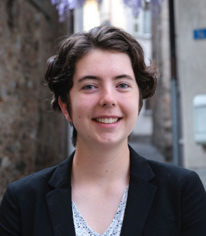
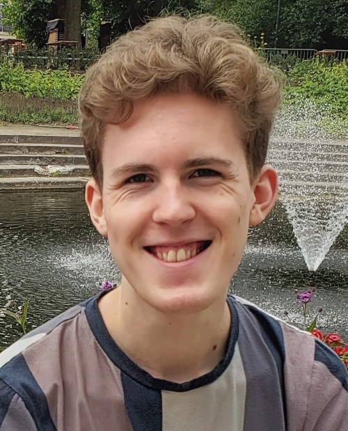
Current Lab Members
Alumni
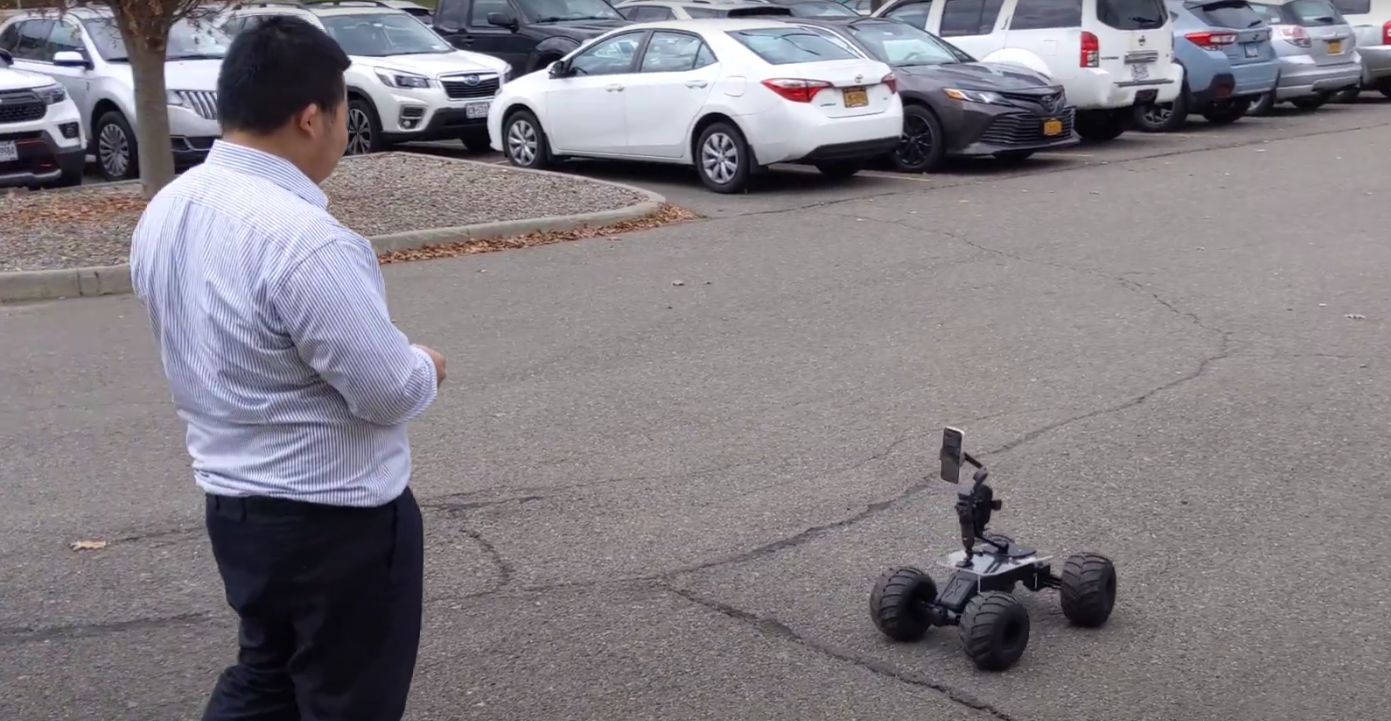
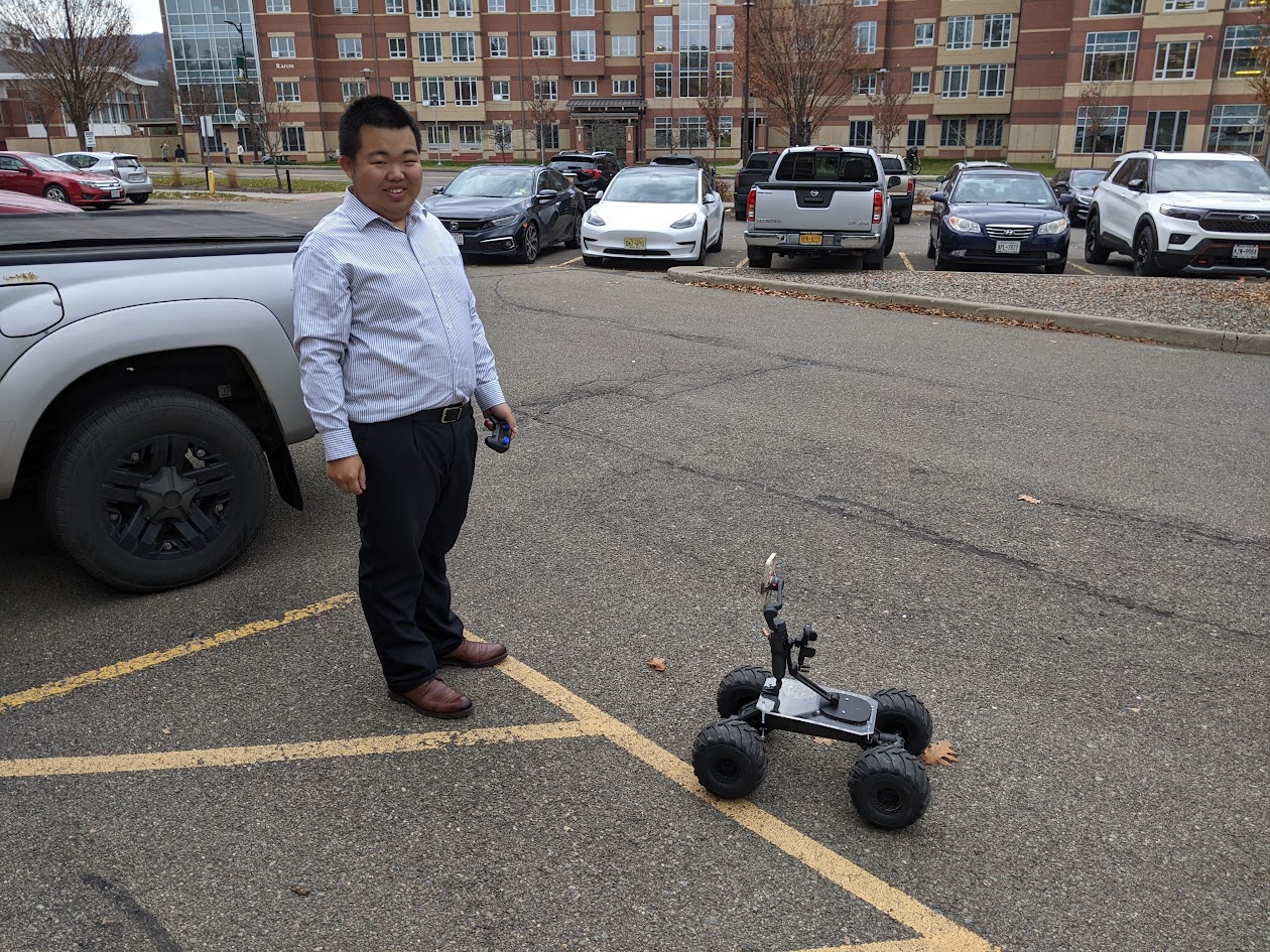
Zhanchao Yang was an undergraduate researcher who worked on terrestrial structure from motion using rovers and pole photogrammetry. He was a 2024 winner of the SUNY Chancellor's Award for Student Excellence and is now a graduate student at the Weitzman School of Design.
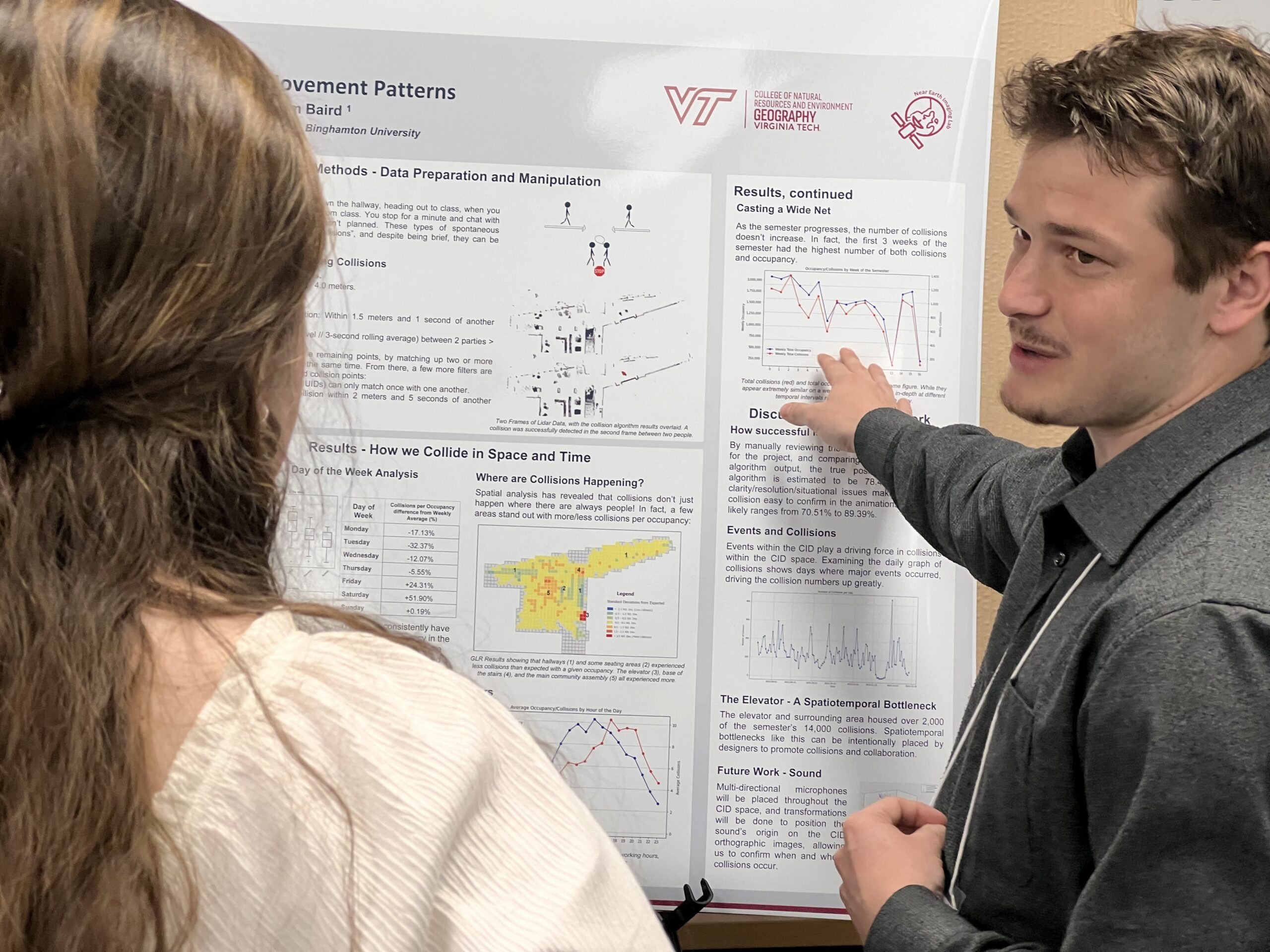
Addison Flack was first an undergraduate researcher (working on Indoor Positioning Systems) and then a Master's student, graduating in 2024. Addison was a 2023 Esri Innovation Program Student of the Year for his innovative work on mapping human movement indoors using lidar.
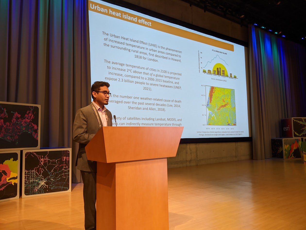
Gunjan Barua was a Master's student in the lab, and graduated in 2023. Gunjan worked on visualization of urban heat, and published and presented his work at Autocarto 2022 and in Cartography and Geographic Information Science. Gunjan is currently a Ph.D. student in the GEA program at Virginia Tech.
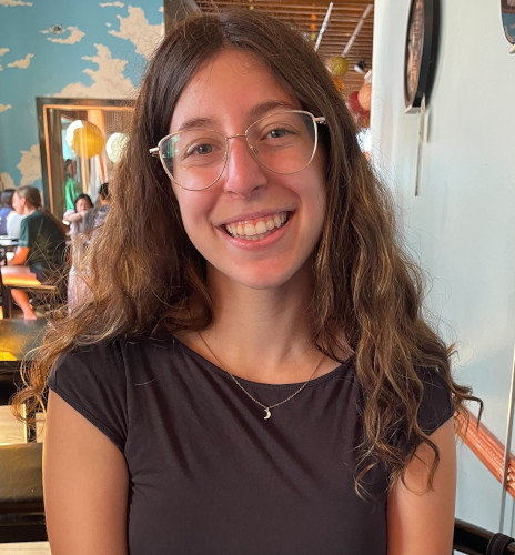
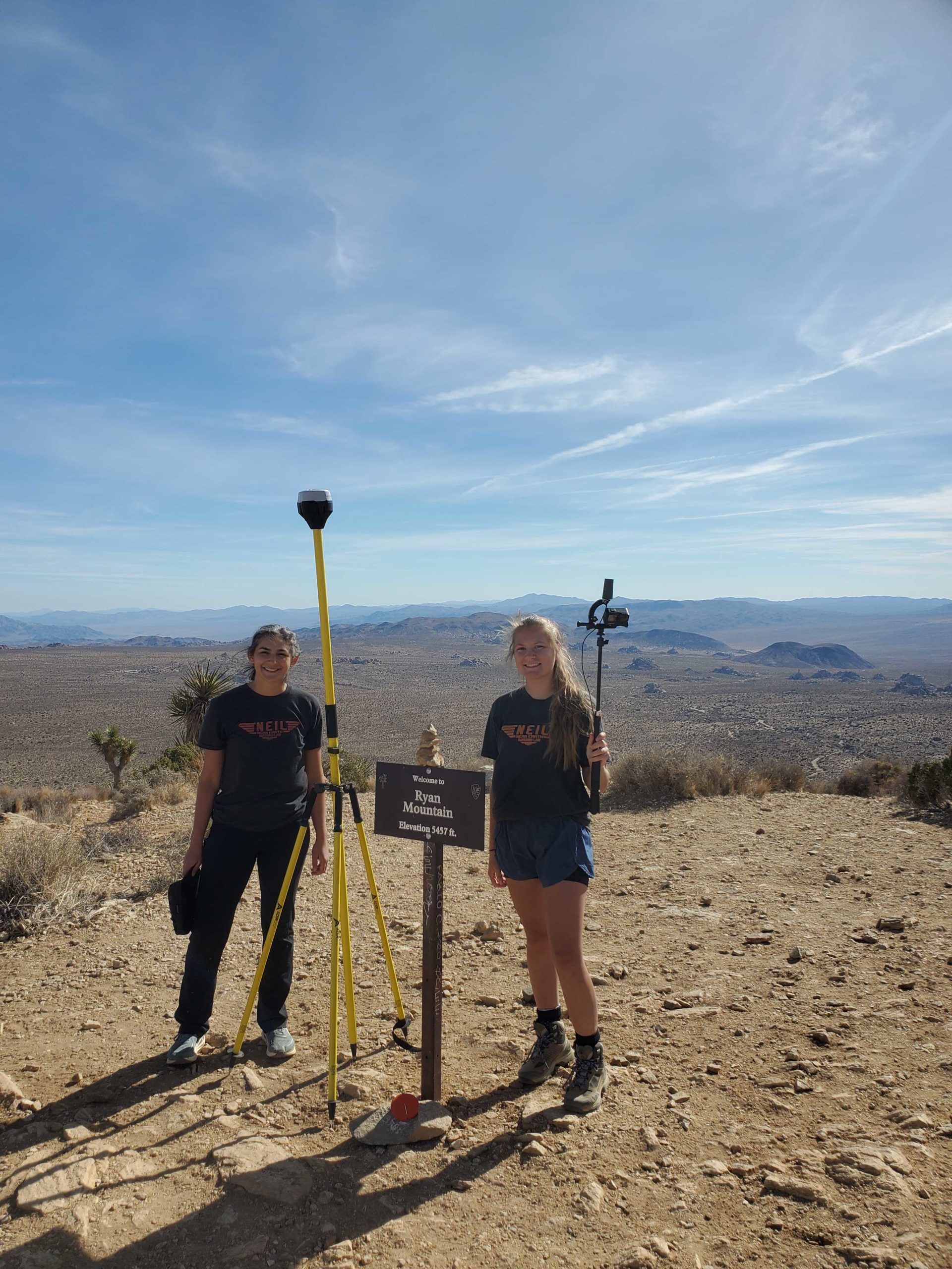
Johanna Arredondo (shown here with undergrad research assistant Andrea Granger doing fieldwork at Joshua Tree) was a Ph.D. student in the lab from 2019-2023. Her work explored many topics centered on trail and campsite management using lidar and photogrammetry to measure and document the landscape. She's currently an analyst for the Army Corps of Engineer's Geospatial Research Lab.
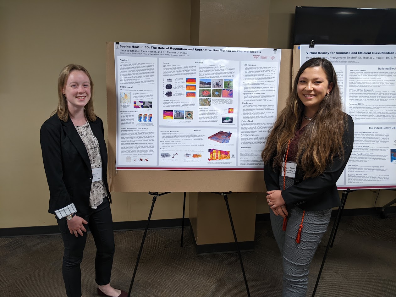
Lindsay Dressel and Tyna Hesser were undergraduate research assistants in 2022 and 2023. At OGIS 2023, they presented their research on using drones, structure from motion, and NeRFs to create 3D thermal maps.
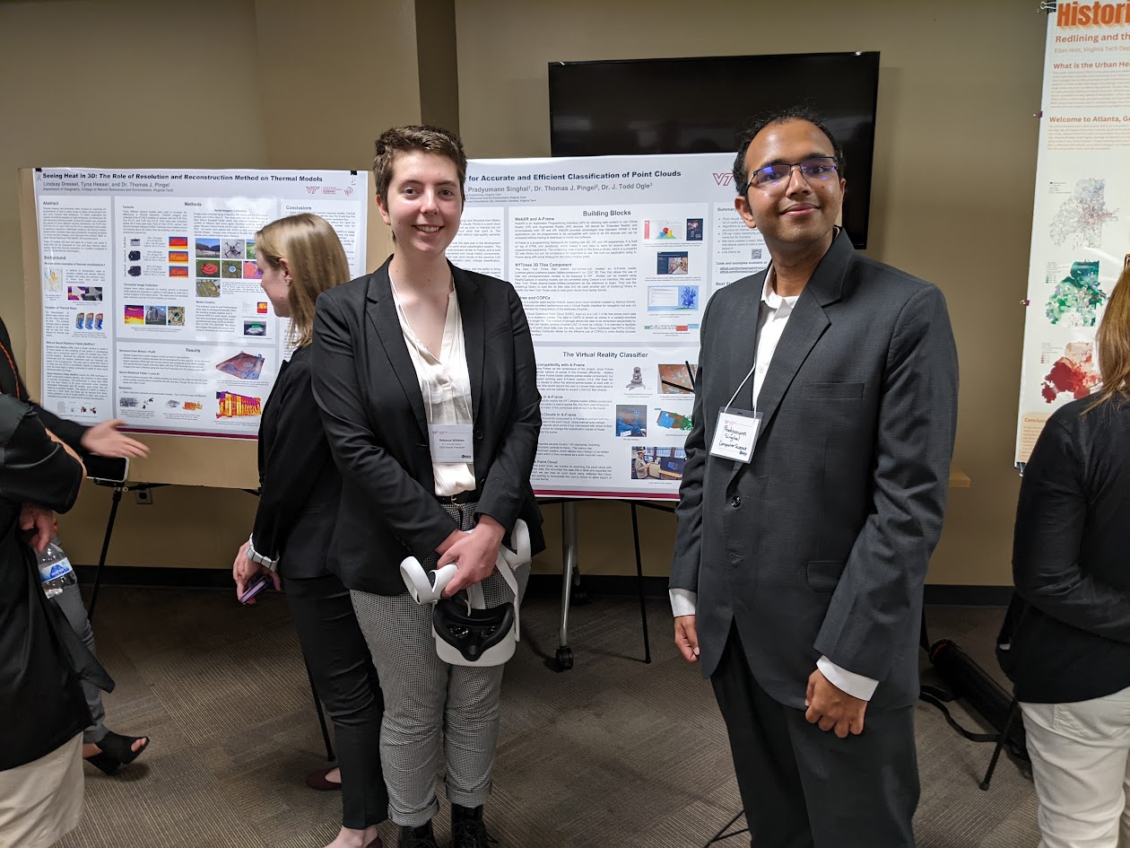
Rebecca Whitten and Prad Singhal were undergraduate research assistants in 2022 and 2023. Rebecca and Prad developed an A-Frame-based web lidar reader to support immersive virtual reality interaction with point clouds and presented their work at OGIS 2023.
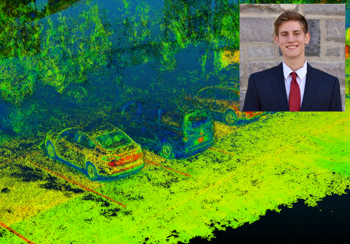
Chris Kile was an undergraduate researcher in the lab during Fall 2022. Chris worked on Quality Control / Quality Assurance for point cloud data, ultimately creating an outstanding reference data set for lidar algorithm development.
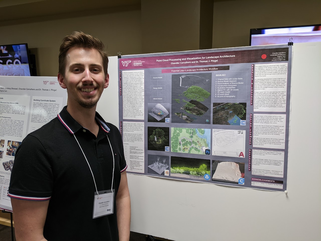
Chander Carruthers was an undergraduate researcher that worked on integrating lidar and photogrammetry into Landscape Architecture, and won first prize for his work in the undergraduate student competition at OGIS 2022.
Barrett Wilson was an undergraduate researcher in the lab, and contributed to a wide variety of projects, including drone mapping, structure from motion, indoor mapping, and many others.
He presented his work at OGIS 2022.
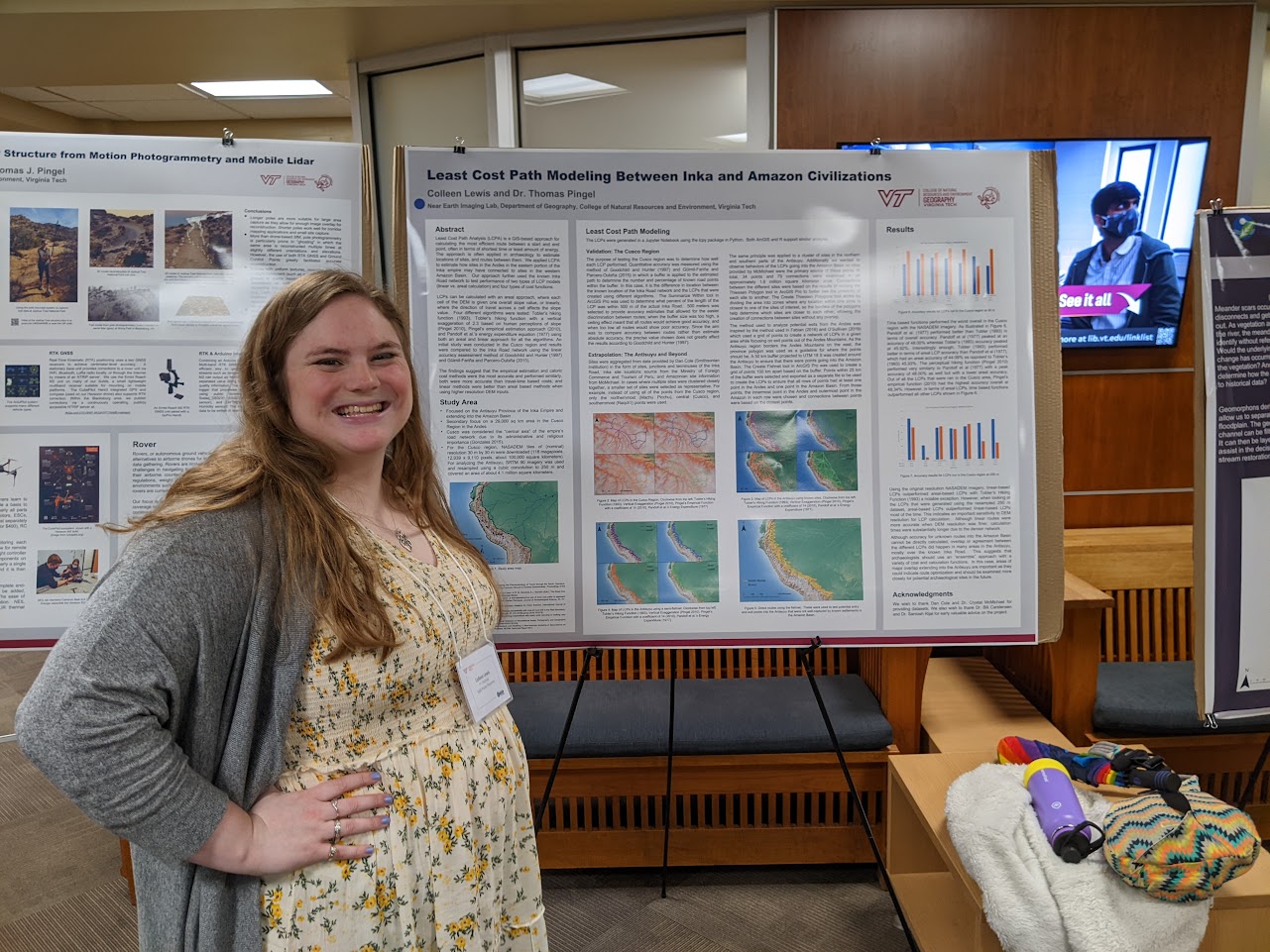
Colleen Lewis was a graduate student with a passion for GIS and archaeology. Her thesis looked at least cost paths to simulate connections between Inca and Amazonian civilizations.
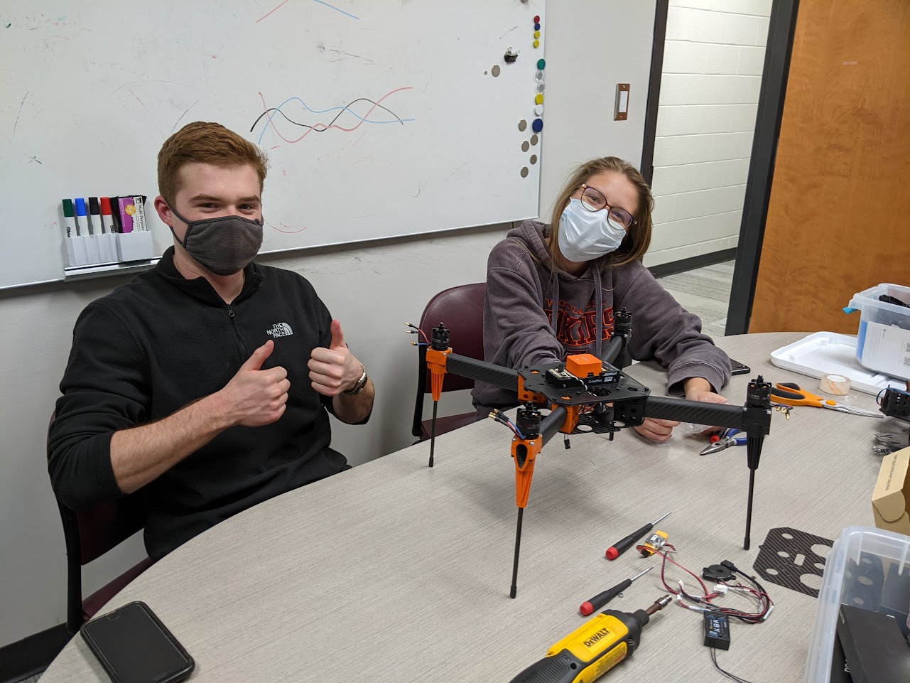
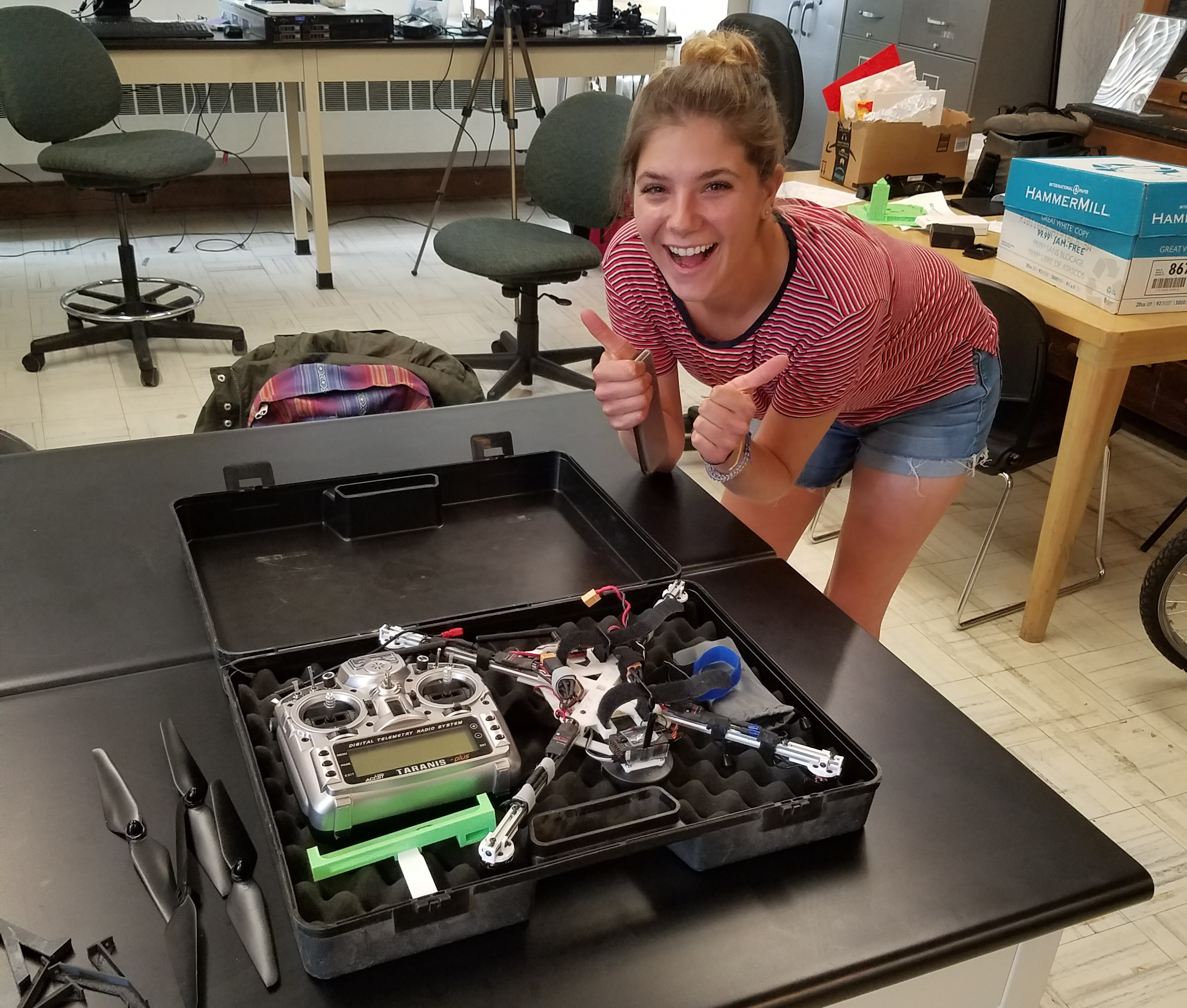
Cameron Neal and Andrea Granger were members of the lab during the 2021-22 academic year. Both contributed to a variety of projects, including drone building and indoor mapping. Cameron focused on Structure from Motion, and mapped the interior of Wallace Hall , and Andrea developed custom sensor packages using Arduino, RTK GPS, and temperature sensors.
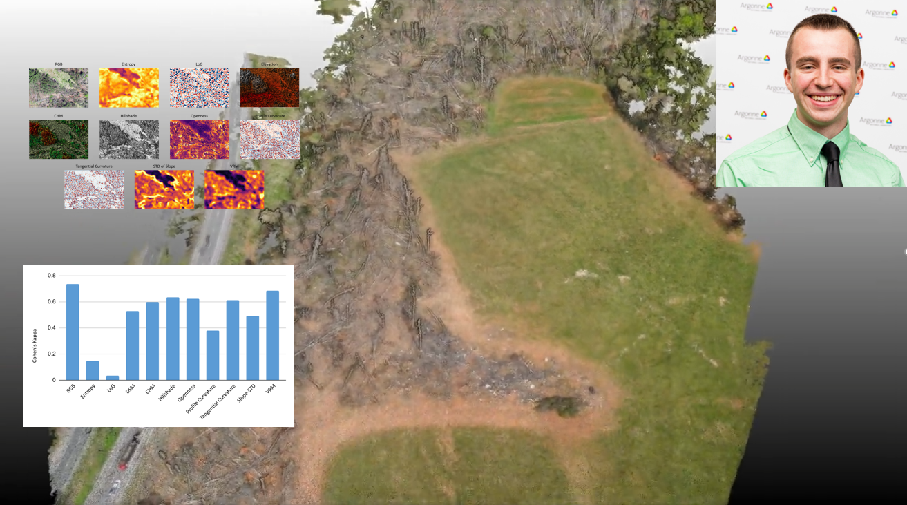
Sam Carani was a member of the lab from 2019 to 2021, and graduated with a master's degree in the Fall of 2021. Sam was a 2020 USGIF Scholarship Award Winner and a 2021 Esri Innovation Program winner. His work on using Deep Learning and drone photogrammetry was published in Natural Hazards.
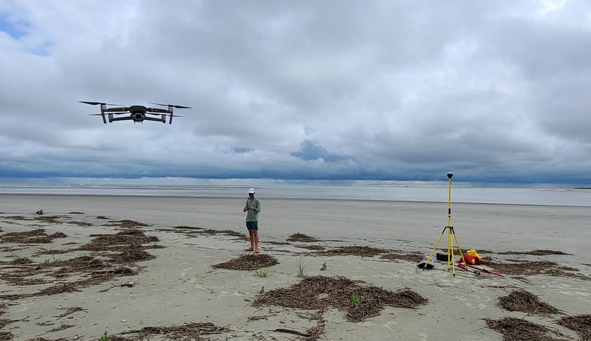
Jack Gonzales was a member of the lab from 2019 to 2021, and graduated with a master's degree in the Fall of 2021. Jack's project compared drone and pole photogrammetry for monitoring beach erosion and deposition.
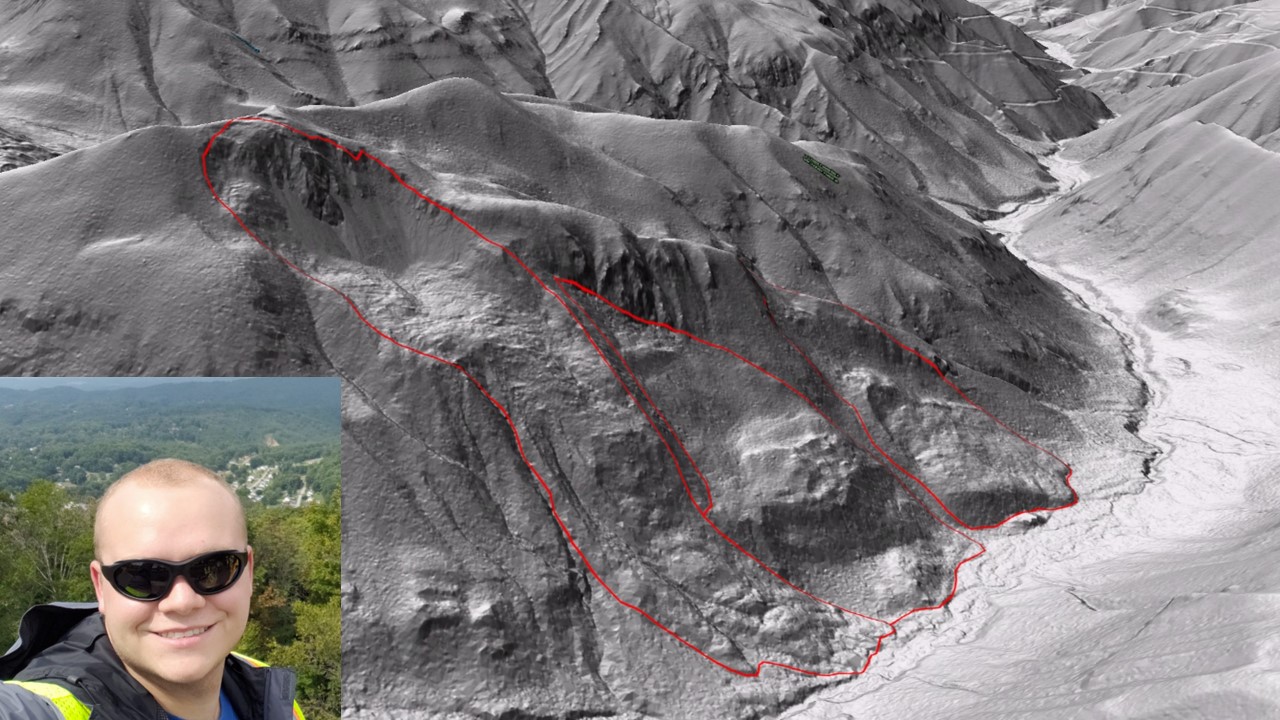
Jim Young was a member of the lab from 2019 to 2021, and graduated with a master's degree in the Summer of 2021.
Jim's project involved testing and developing algorithms to automatically detect landslides from lidar data. He was assisted in fieldwork involving RTK GPS data collection, lidar, and drones.
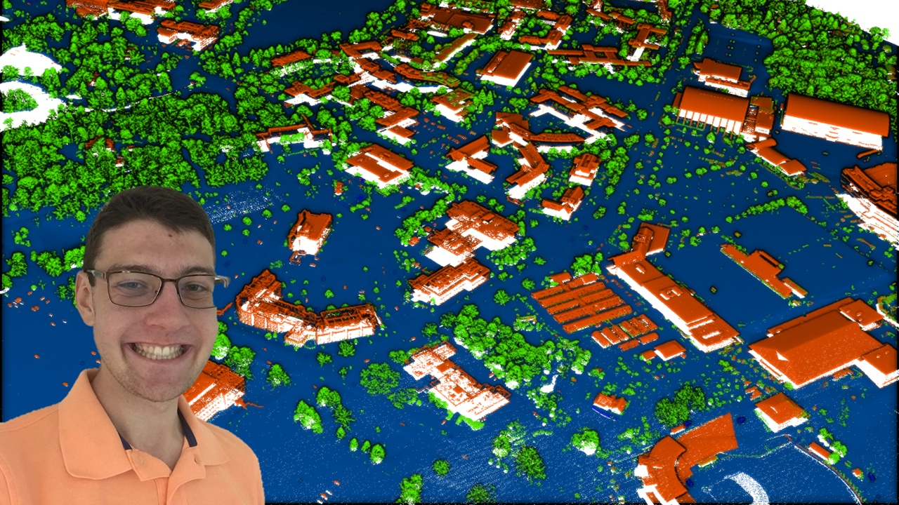
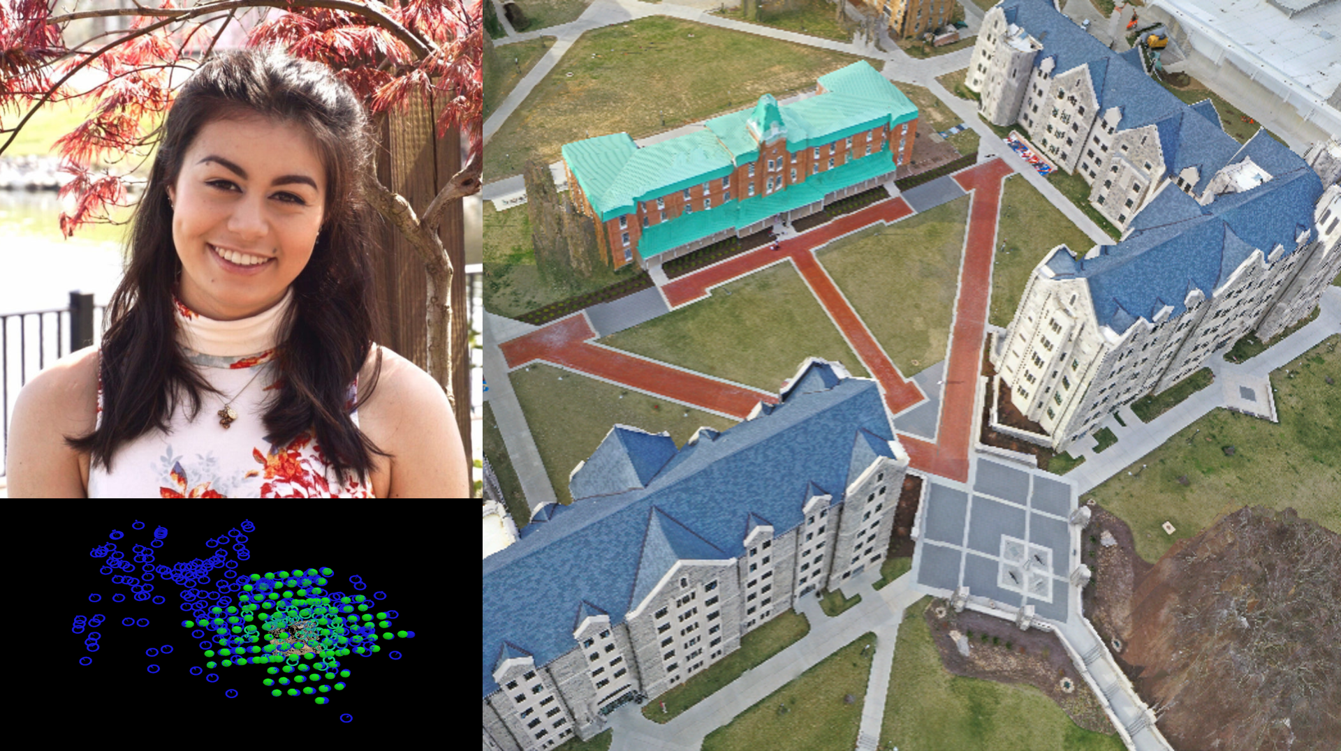
Maya Atkins was an undergraduate research assistant during the 2020-2021 school year. Maya used aerial imagery and lidar data to create a fine-scale model of the Virginia Tech campus and surrounding area, and earned 2nd place at the Virginia Tech OGIS Symposium for her poster presenting her results.
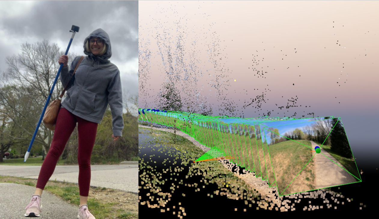
Grace Fernandez was an undergraduate student researcher in the lab in the Spring of 2021. Grace helped with field work, including with RTK GPS data collection and running several "Photogrammetry on a Stick" projects, in which a camera is used to collect thousands of images along a route or small area, and these are used to reconstruct areas where drones are unable to go.
Kooper Howerter was an undergraduate student researcher in the lab in the Spring of 2021.
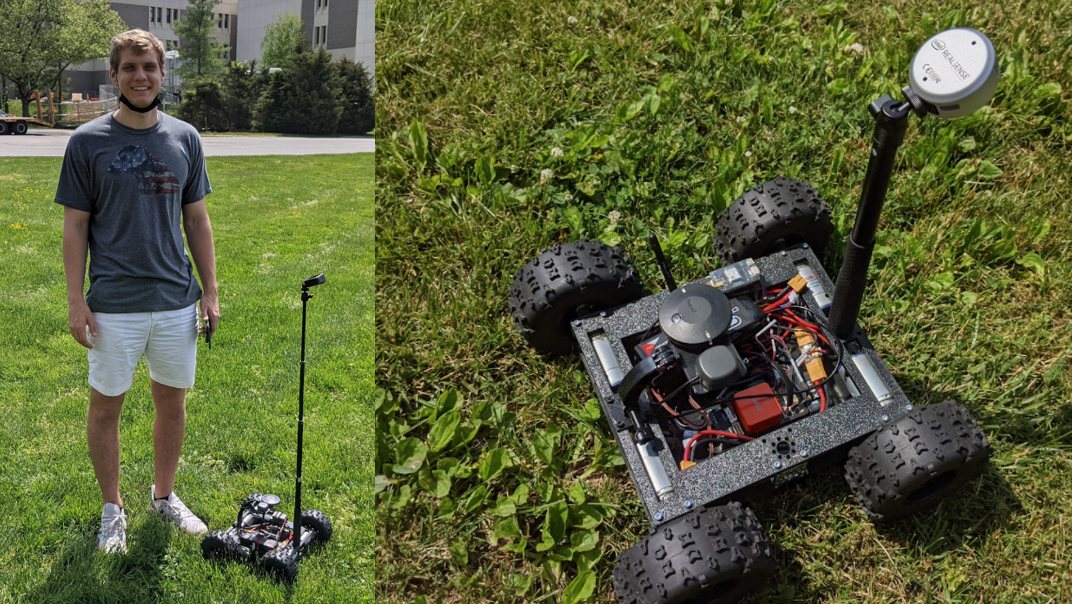
Kooper built an RTK GPS-enabled rover, complete with a gimbal-mounted imagers for millimeter-scale 3D model building. The rover was built on the popular Ardupilot system, and utilized Cube autopilot for autonomous mission planning.
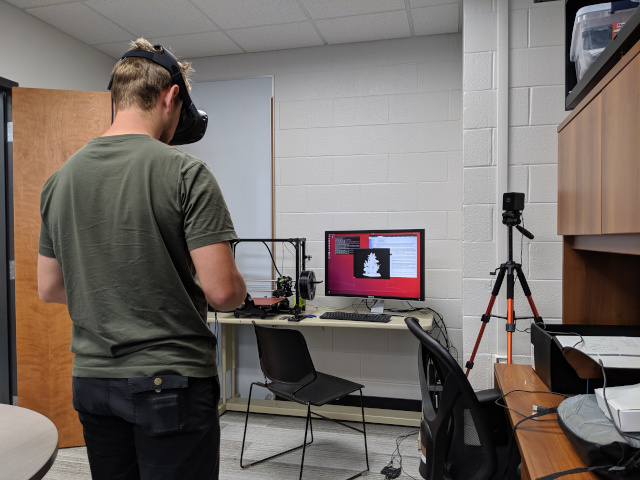
Hudson Chase worked on the development of a Virtual Reality system for inspecting and repairing point cloud misclassification. Hudson was the first graduate of NEIL at Virginia Tech, and now works for Torc Robotics, a company that designs and builds autonomous vehicle systems in Blacksburg.
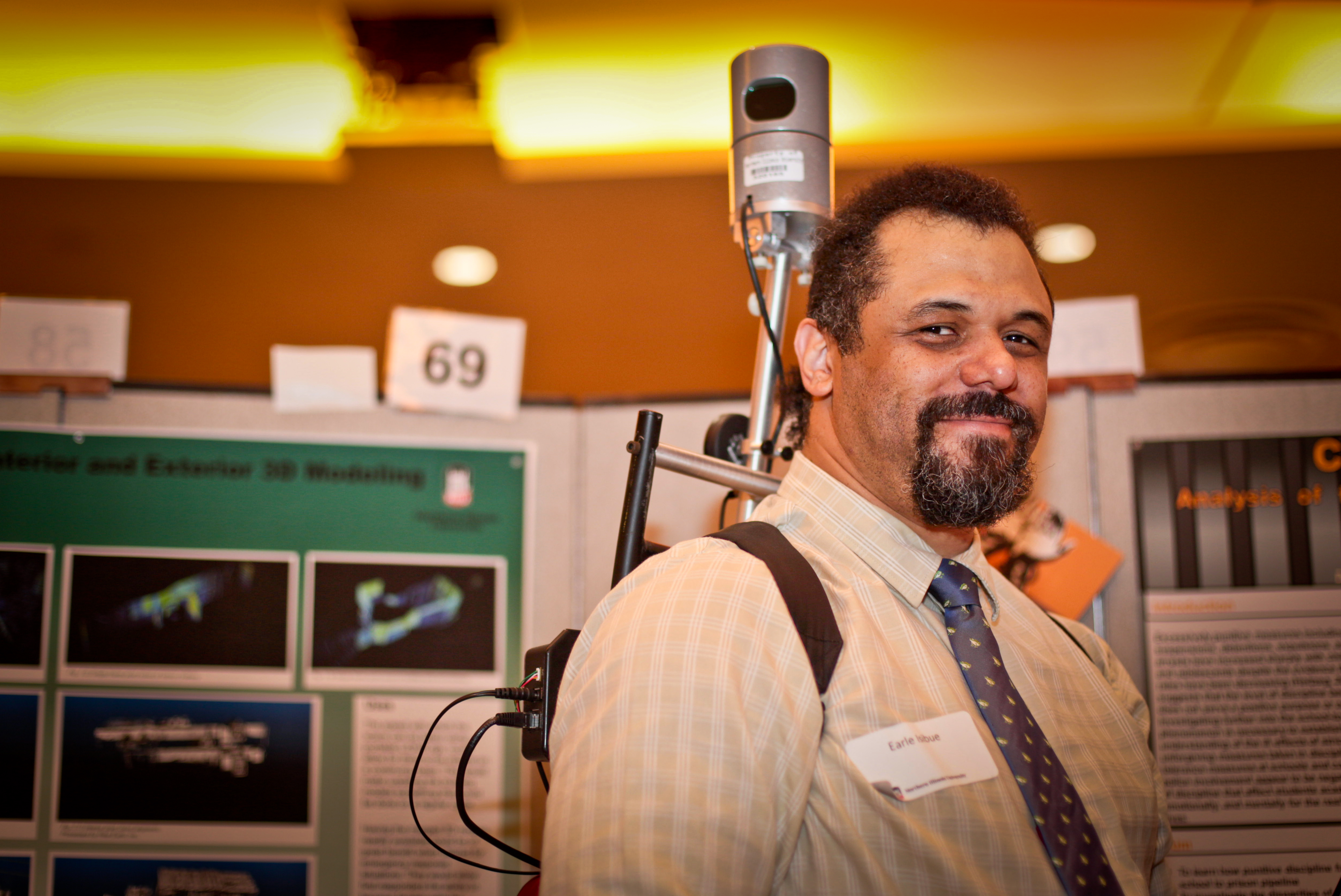
Earle Isibue earned his Master's degree in Geography from Northern Illinois University. He was a driving force and founding member of the lab, working first as an undergraduate through the Research Rookies program, and then joining the lab as a graduate student in 2017. His undergraduate work focused on lidar and photogrammetry fusion for indoor/outdoor mapping where he developed techniques for creating digital and 3D printed models. His thesis focused on developing techniques to measure the urban forest using photogrammetry, and assessing their accuracy. He has disseminated his work at regional (ILGISA / Illinois Geographical Society), national (National Council on Undergraduate Research), and international (World Congress on Undergraduate Research) conferences.
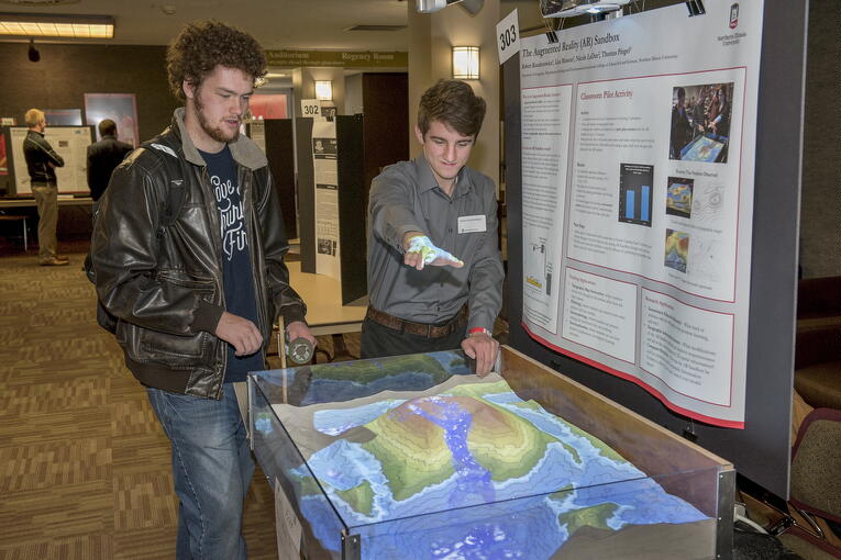
Rob Kondratowicz first worked with NEIL as an undergraduate student researcher at NIU and continued to volunteer in the lab part time after graduation. He was critically important on several projects, including developing a 3D printable drone, building the AR Sandbox, developing workflows for processing image data using the Robot Operating System (ROS), and several other augmented and virtual reality projects.
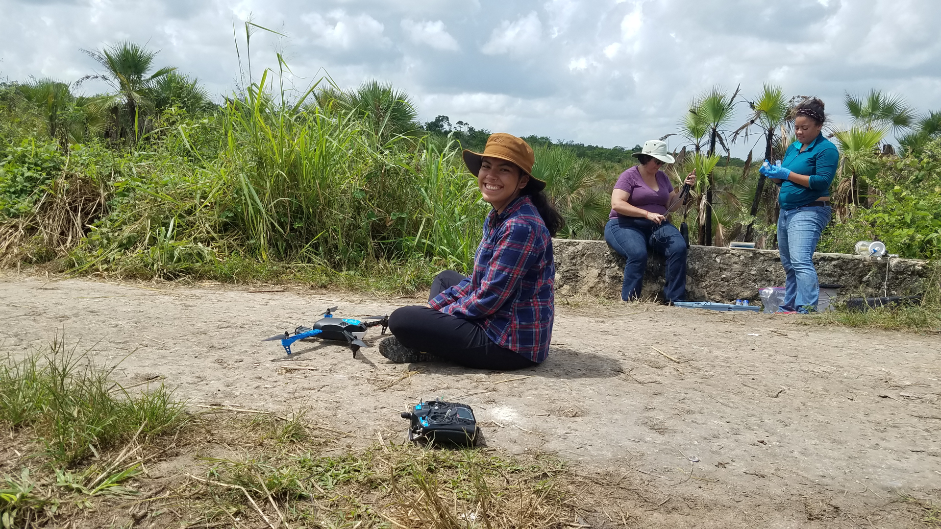
Andrea Saavedra was a participant in the NSF-funded Research Experience for Undergraduates during the summer of 2018. Andrea flew drones to image water-related sites in Mexico, and used photogrammetry software to develop digital 3D models. She presented her results at the 2018 SACNAS conference.
Lily Cobo earned her master's degree from Northern Illinois University.
At NEIL, she worked on the NSF-funded Research Experience for Undergraduates. She earned her Part 107 remote pilot's license, and traveled to Mexico to fly the cenotes near Puerto Morelos, gathering information about regional water sources.
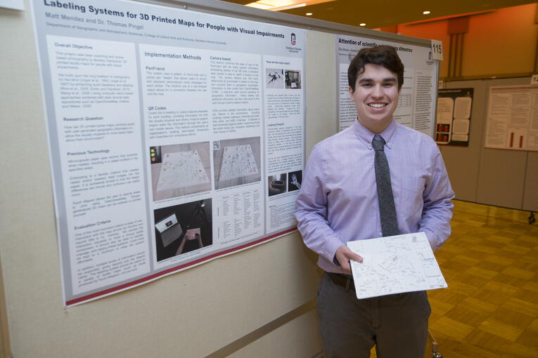
Matt Mendez was an undergraduate researcher in the lab. Matt's project involved using lidar and structure from motion to create 3D tactile maps that could be used by people with visual impairments.
