Skip to content

The Near Earth Imaging Lab

  • About
  • People
  • Galleries
    • Photo Gallery
    • Student Poster Gallery
    • Lidar Point Clouds
  • Join
  • Contact
  • Menu
About
The Near Earth Imaging Lab
Exploring the frontier of Geographic Information Science & Technology
About
Read more
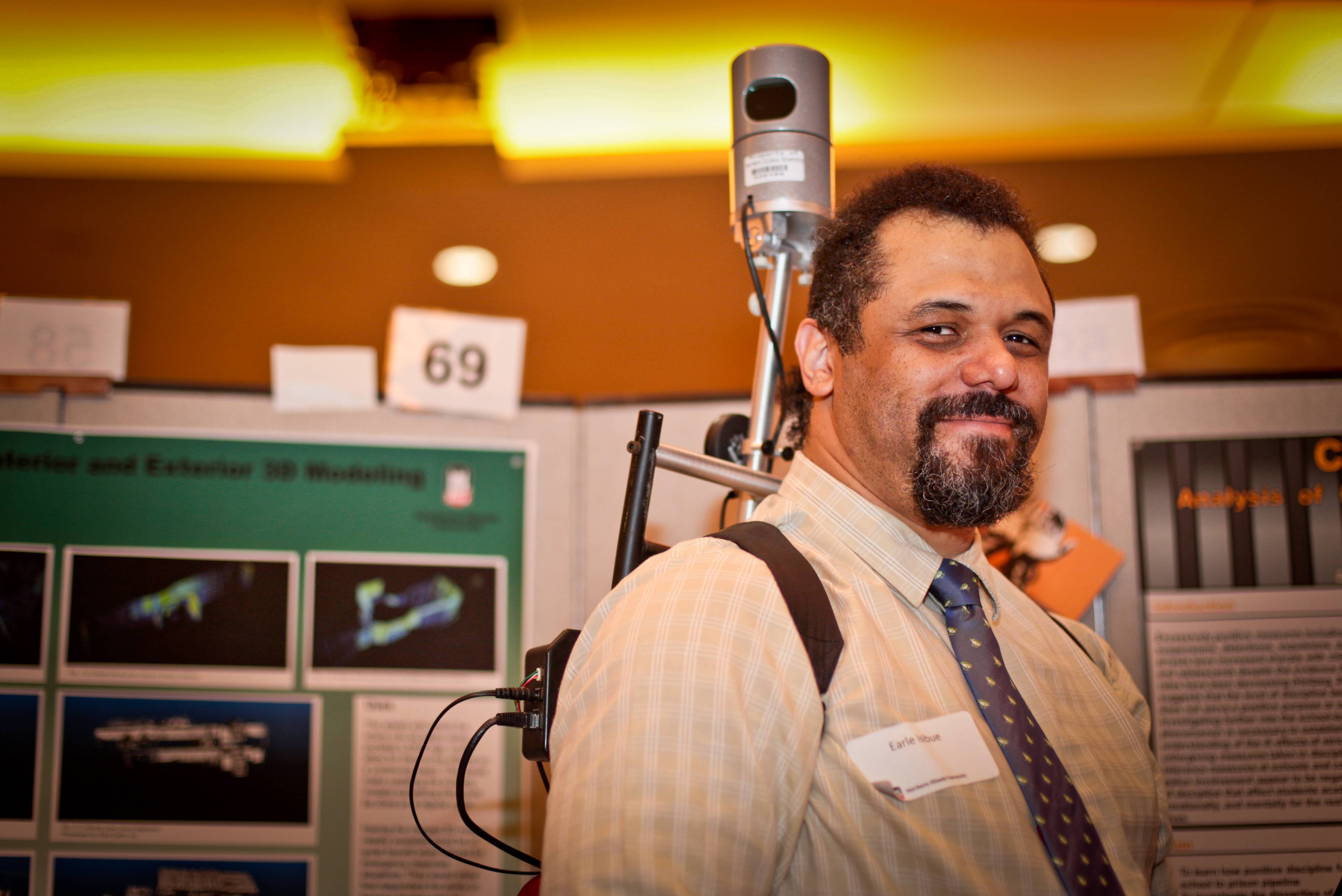
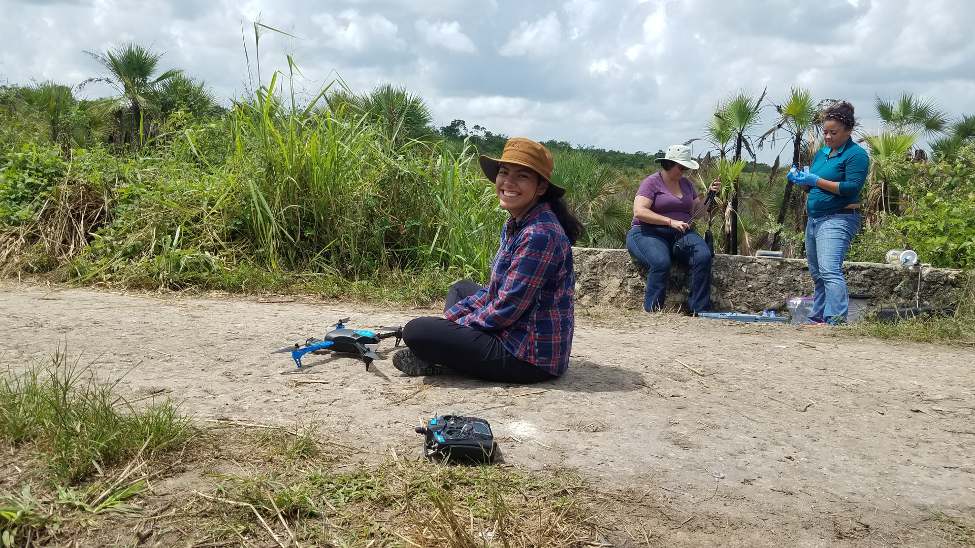
We're a multi-disciplinary research group that applies cutting edge imaging and geovisualization techniques - including lidar, photogrammetry, UAVs, augmented and virtual reality, and 3D printing - to problems in human and physical geography.
Undergraduate Research

Research opportunities for graduate and undergraduate students are available.

Interested in joining?
Read more
previous arrow
next arrow

Recent Posts

  • Unmanned Aerial Vehicles
  • Undergraduate Research
  • (no title)

Recent Comments

    Archives

    • April 2019

    Categories

    • Main
    • Uncategorized

    Meta

    • Log in
    • Entries feed
    • Comments feed
    • WordPress.org
    A SiteOrigin Theme