Word Cloud

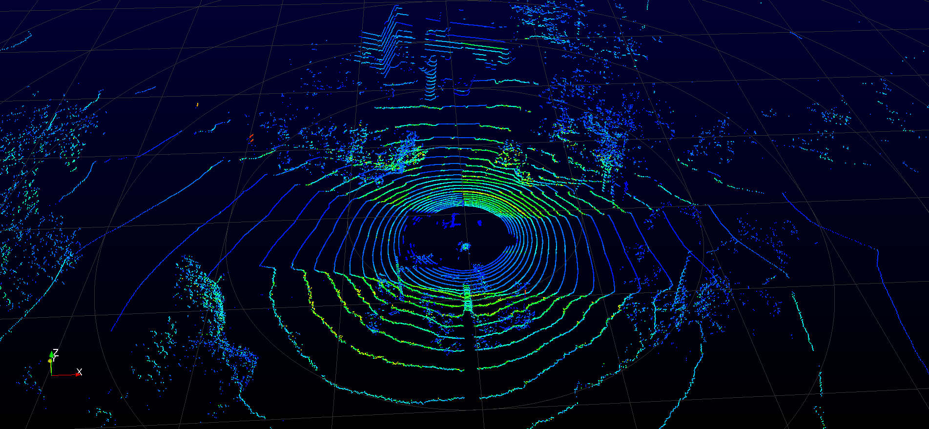
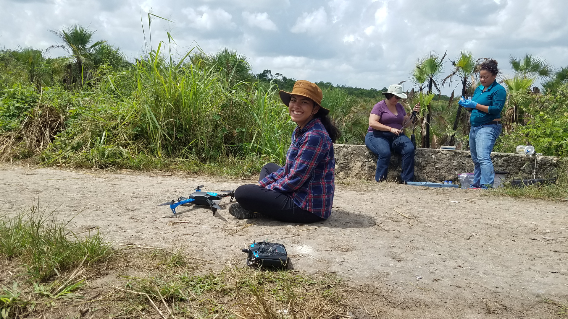
The Near Earth Imaging Lab is directed by Dr. Thomas Pingel at Binghamton University.
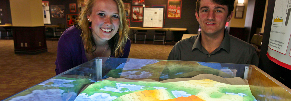
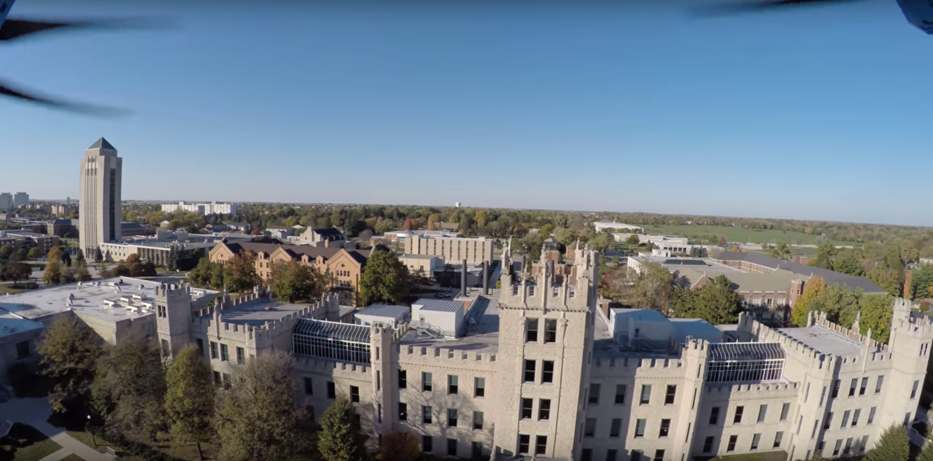
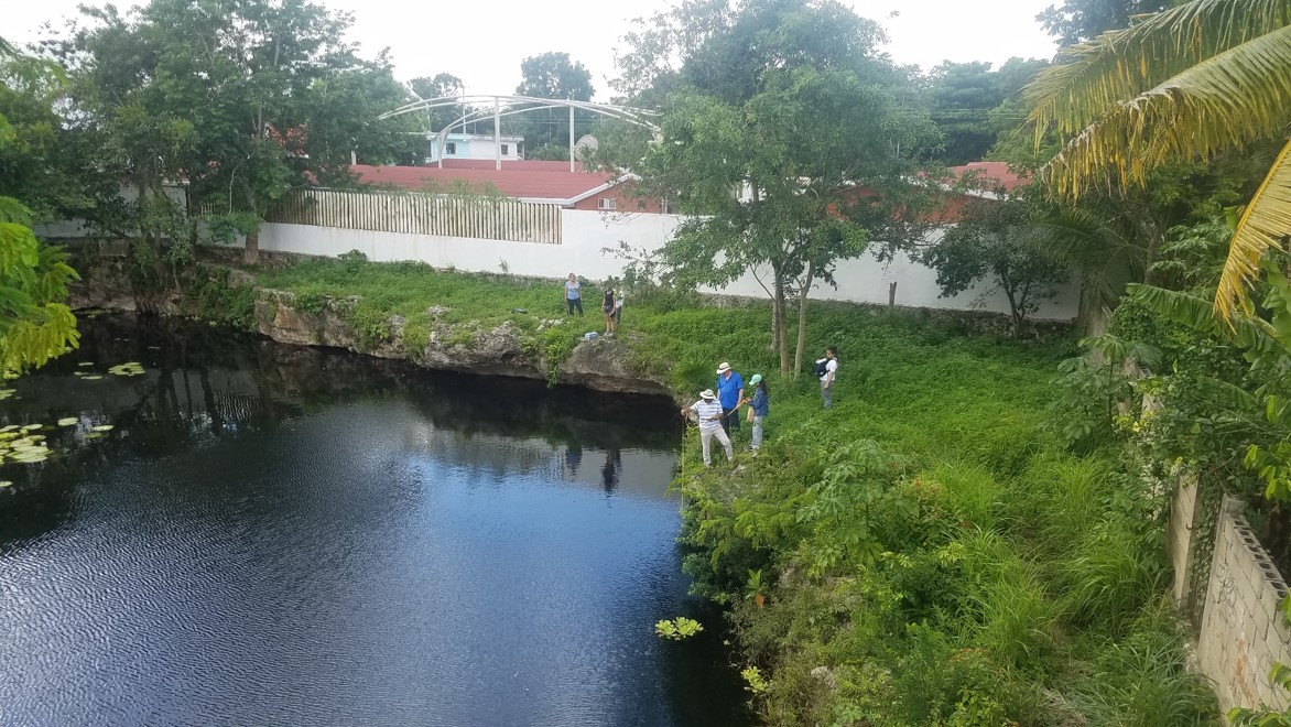
We focus on scientific and technological applications of laser scanning, photogrammetry, unmanned aerial vehicles, virtual & augmented reality and 3D printing to problems in human and physical geography, geology, and archaeology.

Graduate and Undergraduate Research

We support both graduate and undergraduate research in our lab, on topics related to geovisualization, 3D mapping, and point cloud processing.

Drones

We help students learn to fly UAVs and to use them to further their research objectives.

Field Work

We've flown drones internationally in support of environmental science field work.

Lidar

We use aerial and terrestrial lidar to build high resolution 3D models of local areas.

Join

Interested?
Whether you just have a question, could use a member with this expertise for your committee, or
want to join the lab full- or part-time as a student, we hope you'll get in touch.

previous arrow
next arrow